FREE NHS ICB MAPS · HISTORICAL AREA
Buckinghamshire, Oxfordshire and Berkshire West ICB map
View the former Buckinghamshire, Oxfordshire and Berkshire West boundary and find the current ICB maps covering this area.
Buckinghamshire, Oxfordshire and Berkshire West ICB changed on 1 April 2026
The former Buckinghamshire, Oxfordshire and Berkshire West area is now part of Thames Valley ICB.
Use the current maps below for the latest boundaries and free PDFs.
NHS England: April 2026 changes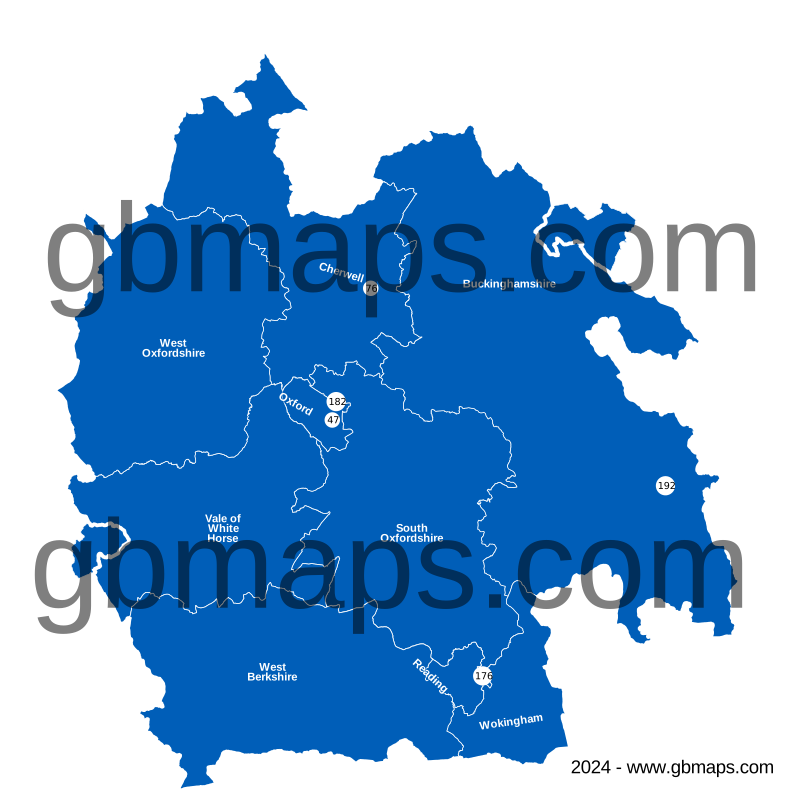
Explore other free ICB maps
36 current ICBsPrevious ICB areas Before April 2026

MAKE THE MAP YOUR OWN
Colour and customise your ICB map
Highlight ICB areas, add place markers and labels, and build a map key for your report or presentation.
See the map assistant add a hospital marker and coloured drive-time areas in this example.
Open the ICB colouring toolHistorical map and boundary changes
The map and original download filenames are retained so existing references continue to work. They show the earlier geography. The replacement links follow the NHS England April 2026 changes; some former areas were split between more than one ICB.
Map artwork © GBMaps.com. Contains OS and National Statistics data. See the credits in each historical file for its original edition.