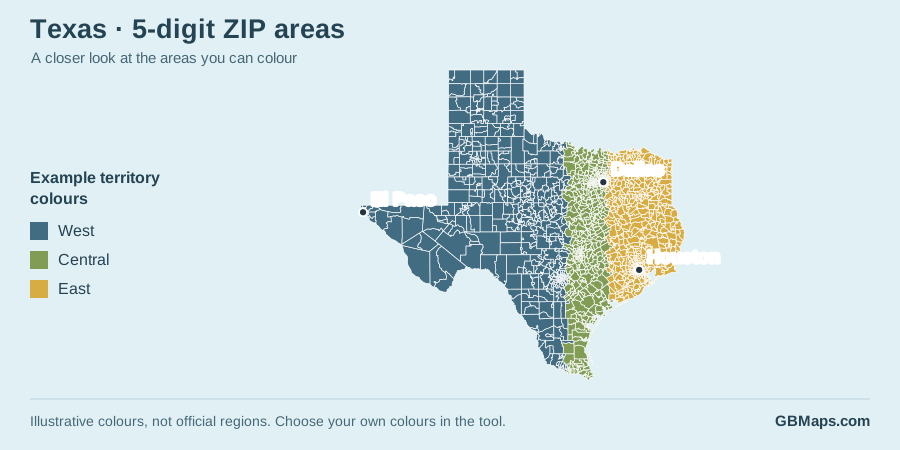
Find a free PDF for your state—or colour a detailed ZIP map online.
Choose from 48 state 3-digit ZIP code maps and 48 county boundary maps. They are useful ready-made references for reports, presentations and planning. For your own sales territories, delivery coverage or service areas, try our 5-digit ZIP map colouring tool, available for all 50 states.
More detail. Your own colours.
Make a ZIP code map that shows your areas
A free PDF is a useful starting point. When you need to colour individual ZIP areas, choose a state below and open its five-digit map in the tool.
Click ZIP areas to build your own territories
Add a map title and a colour key
Adjust ZIP labels, place names and town dots
Try colouring before buying. Map access is needed to save and download your finished map.
Example shown: Vermont. Counties and ZIP areas are different geographies.
Free PDFs are for your own use. Keep the GBMaps copyright notice and check our map usage terms before publishing or redistributing a map. For supplied editable artwork, check the formats and licence on the individual state page.
Your state. Your choice of map.
Find a USA map by state
ZIP map and County map open the free download pages. 5-digit tool opens the detailed colouring map for that state.
No matching state. Check the spelling, or choose “Show all states”.
A dash means no free download page is currently listed. Five-digit colouring maps are available for all 50 states. No sign-in is needed to browse the free map pages.
Working at a wider scale?
More ways to colour a USA map
The original state, three-digit ZIP and county colouring tools are still available.
US state boundary map
Colour whole states for a national sales, regional or coverage overview.
From a free reference map to a working territory map
Start with the question you need to answer
For “which part of the state?”, a three-digit ZIP PDF may be enough. For “which counties do we cover?”, start with a county map. For “which ZIP areas belong to each salesperson?”, choose the five-digit tool and give each territory its own colour and key entry.
Use the same approach for customer coverage, branch catchments or delivery zones. Your colours describe your chosen areas; they are not a new set of official boundaries.
Use these maps for visual planning, not address validation or navigation. Boundary detail and file formats are explained on the individual map pages. Ask GBMaps if you need help choosing a map.
Free USA map questions
Are the USA PDF maps really free to download?
Yes. Open an available state ZIP or county map page and follow its free PDF download link. You do not need a colouring-tool account for the free PDFs. Please keep the GBMaps copyright notice and check the usage terms before publishing or redistributing a map. Editable artwork bundles and colouring-tool access are separate products.
What is the difference between a 3-digit and a 5-digit ZIP map?
A three-digit map groups ZIP codes by their first three digits. It is useful for a broad regional overview. The five-digit tool shows smaller, individually mapped ZIP areas, so you can make more specific sales territories, delivery coverage maps and service areas. Neither level is the same as a county boundary.
How do I find a free map for my state?
Use the state directory on this page. Choose ZIP map for the free three-digit map page, or County map for the free county map page. You can type a state name to narrow the list. A dash means there is no free download page listed for that map; it does not mean the five-digit tool is unavailable.
Can I try the five-digit ZIP tool before buying?
Yes. Choose a state and load its map to try colouring ZIP areas, adding your own title and key, and adjusting ZIP labels and place names. Relevant map access is needed to save and download your finished map. The free PDF maps on these download pages remain a separate option.
Can I combine several states into one ZIP map?
Yes. The state chooser currently lets you select up to three states. The selected states must form a connected group; each state need not touch every other selected state. Alaska may be added separately within the same three-state limit. Load and customise the combined map before buying. You can buy access to the selected states together, an individual state or all 50 states.
Are ZIP areas, counties and city boundaries interchangeable?
No. Postal areas and administrative boundaries are different ways of dividing the country. A coloured ZIP territory is your own grouping of mapped postal areas, not an official county or city boundary. Not every USPS code represents a mapped area, including some PO Box and organisation-specific codes.
Can I edit the free maps or use them in a report?
The free PDFs provide a scalable vector map for your own reference and planning. Keep the copyright notice and check the map usage terms for your intended use. If you need supplied Illustrator, SVG or other editable artwork, follow the artwork information on the individual state page and check the included formats and licence.
Are these maps suitable for address checks or navigation?
They are intended for visual reference and territory planning, not address validation, legal boundary decisions or turn-by-turn navigation. A large ZIP polygon does not tell you how many customers it contains or how long a journey will take. Ask GBMaps if you need to check a particular area or data requirement.
Found your state? Make the map your own.
Choose your colours, mark your ZIP areas and add a key. Try the tool before buying access.