April 2022 UK NHS Primary Care Networks (PCN's) for England as Vector Editable FIle Formats
We've compiled a full UK Vector Map consisting of the UK NHS PCN (Primary Care Networks) Map. April 2022
Primary Care networks are built from groups of GP Practices, Social Care Services, Pharmacies and Hospitals etc. Because many of these providers have overlapping coverage areas its not possible to create a geographically accurate boundary map for PCN’s. We have used our own algorithm based on the Voronoi principal to create a boundary map showing all the PCN’s(at the time of writing).
Each boundary is made up of its own seperate polygon and is individually editable. Ideal for editing in adobe illustrator or powerpoint, the map can be customised to meet the needs of your presentation or report.
N.B. If you don't have the ability to use adobe illustrator or powerpoint then we've designed a seperate tool that enables you to create and customize a PCN NHS Map easily with no experience. Check it out here.
Customise your NHS PCN - Primary Care Networks Maps Online here:
Call or message us today to talk about your bespoke projects. Tel 01751 473136 or Contact Form
Our Primary Care Networks boundary maps come as vector editable files which can be opened in adobe illustrator, inkscape or powerpoint. You also receive svg images which can be imported into office documents and even linked to in Excel(ONLY if you have experise in this area).
We can also supply the GIS .SHP shapefiles of all the PCN boundaries as a whole or individually. These are the actual original GIS vector shapefiles .shp files with associated data tables attached to the shapefile hence the cost will need to be discussed depending on intended use. We can also supply the boundary files as KML or GEO-JSON files, Just get in touch and we'll work something out.
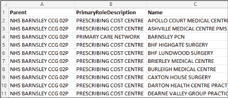
Every Care Network boundary in England are included in this map. Each polygon is labelled on the map but we've also included tables around the side of the map to show which region corresponds with which organisation code.
Raster image files are files with extensions such as .jpg, .gif, .png etc. Vector files are more like coloured drawings where every line, shape or piece of text is created using coordinates and attributes that make up complex images with code which can be edited after the image has been created. A vector map can be opened in Adobe Illustrator, Inkscape, Corel, Powerpoint and many other packages(some of which are free to download). The other major benefit of a vector file format is they can be scaled up to any size and they don’t become pixelated or lose any resolution.
We can also supply A0 Laminated Prints of our PCN - Primary Care Networks Map
We can print any of our maps at almost any size. If you need a laminated poster map, A4 printed maps, deskpads or something for the office wall including maps printed onto a whiteboard or magnetic board then we can help. We can create the maps you need and transfer them onto all kinds of printed media, faster and for a lot less cost than you might originally think.
Call or message us today to talk about your project. Tel 01751 473136 or Contact Form