UK Postcode Maps and Editable Outline GB County Maps, UK Road Network Maps and A4 Location Maps..

Call Us Now for Help

01751 473136

Try our Map Customisation Tools before you buy our Editable Postcode Map Files

Our Vector Editable Postcode Maps of the UK are highly detailed editable maps when using something like Adobe Illustrator or Inkscape. Great for graphic designers but only if you know your way around those graphics packages.  We’ve created a simple online tool that enables everyone to create, customize and colour a UK postcode map into Zones or Territories and save the result as a vector editable adobe acrobat pdf file. Create as many maps as you want for a small one-off fee.

Preview of Custom Postcode Mapping Tool

UK Postcode Maps

Postcode Maps make a great base for creating sales territory maps, delivery zone maps or even profit distribution maps. Buy and download them right into your regular graphics editing software, colour them in and use them in documents or presentations. We have the most detailed UK Vector Postcode Maps available to buy online. We even have a free download to give away.

UK Vector Postcode Maps
Uk postcode area map image

County Outline Maps

We have many different variants of UK County Map to buy and download immediately. You can have a simple outline showing just the counties of Great Britain or a detailed parliamentary constituencies map of the UK showing towns and cities as well as county boundaries. Our maps come in various file formats so you're able to open the maps using your own software.

UK County Boundary Maps
UK county map sample

OS 1:250k Raster Maps

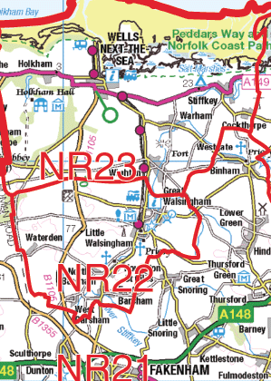
Buy OS 1-250,000 Raster images containing road and town data along with postcode areas, postcode districts and labels. Download the whole GB Map as one huge file or select individual 100km x 100km square tiles of the map. These maps are hi-resolution jpeg files and available for instant download. Also download free tiles.

250k Raster Postcode Maps
OS 250k Raster Postcode Maps

Website Maps

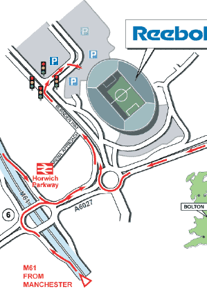
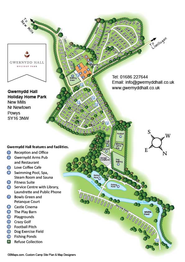
Our simple website location maps are ideal to use on the contact page of your website or on the back of a brochure. They can be designed to whatever size you require and to show any level of detail. When sat-navs don't get a visitor directly to your door, these maps are an ideal accompaniment to show them in detail the last part of their journey.

Website Location Maps
UK Postcode Areas, Districts and Towns