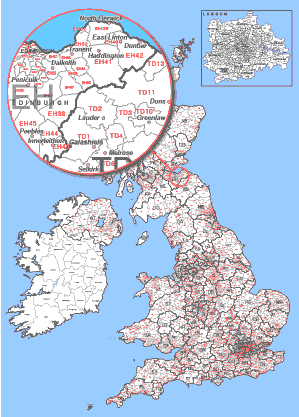
124 Individual Postcode Areas divide Britain and make up the top level and largest geographical units
of the UK postal code system. You can download a non-editable .jpg version of our UK Postcode Areas
Map here for FREE. You can view the levels of detail supplied in our editable version by downloading
this free postcode map.
File types included with download.
Free Postcode Map Download
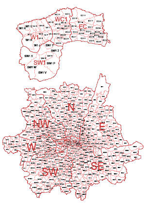
3064 Postcode Districts cover the whole of Great Britain.
This vector editable district map has selectable and customisable shapes for every one of the 124
postcode areas and 3108 postcode districts in the United Kingdom. Select entire postcode areas to
colour by layer or select individual districts to customise the map in more detail. Includes Isle of
Man.
Buy Files Now - £24.00
View Postcode District Map Info.
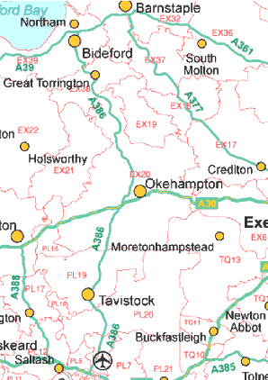
This map is fully editable using a vector editing software package. Showing all the postcode areas
and districts along with motorways, a-roads, towns and cities. Also showing road numbers, junction
numbers, airports, major rivers, lakes and waterways. Railway lines and motorway services are also
an option.
Buy Files Now - £75.00
Postcode District & Roads Maps
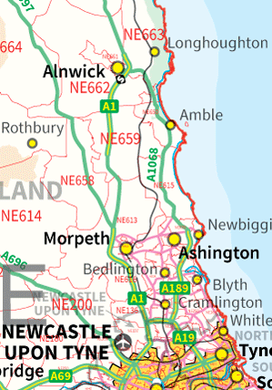
This map is fully editable using a vector editing software package. Showing all the postcode areas,
districts & sectors along with motorways, a-roads, towns and cities. Also
showing road numbers, junction numbers, airports, major rivers, lakes and waterways. Railway lines
and motorway services are also included.
Buy Files Now - £95.00
District, Sector & Roads Maps