FREE ROMFORD POSTCODE SECTOR MAP
RM – Romford Postcode Sector Map 58 mapped sectors · RM1 1 to RM20 4
Explore the 58 mapped postcode sectors in the RM postcode area. The map labels sectors; the directory highlights those with distinct sector-matched places and localities.
Download the Romford postcode sector map
Orange sector artwork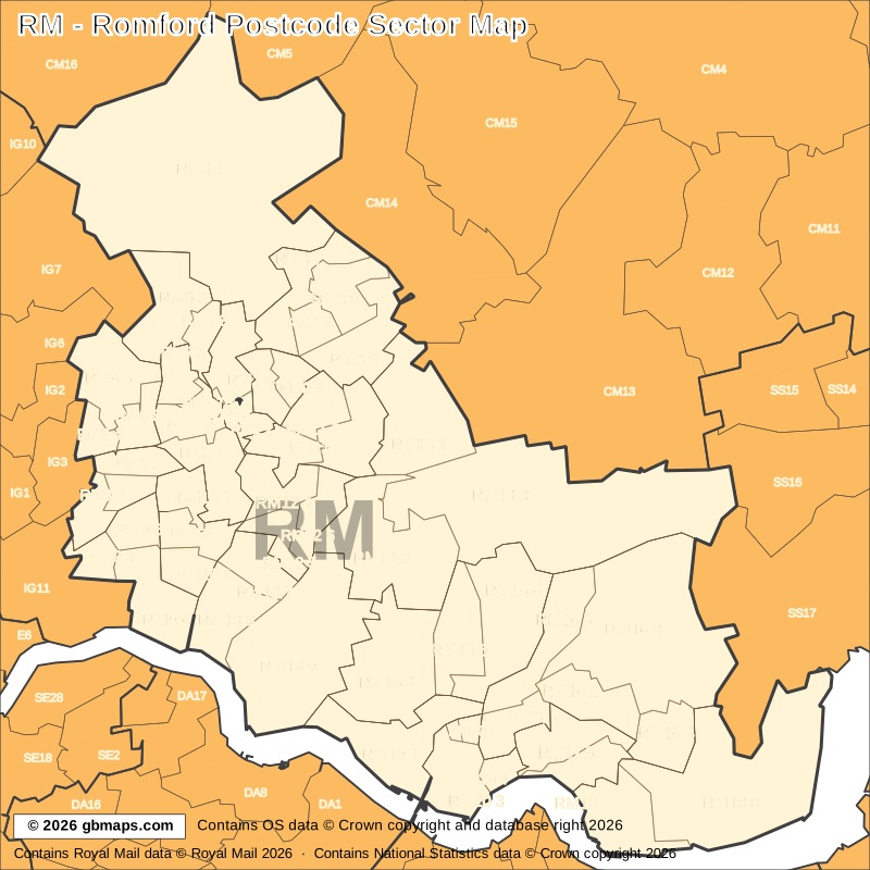
Free editable vector postcode map downloads
Also available as free postcode map images

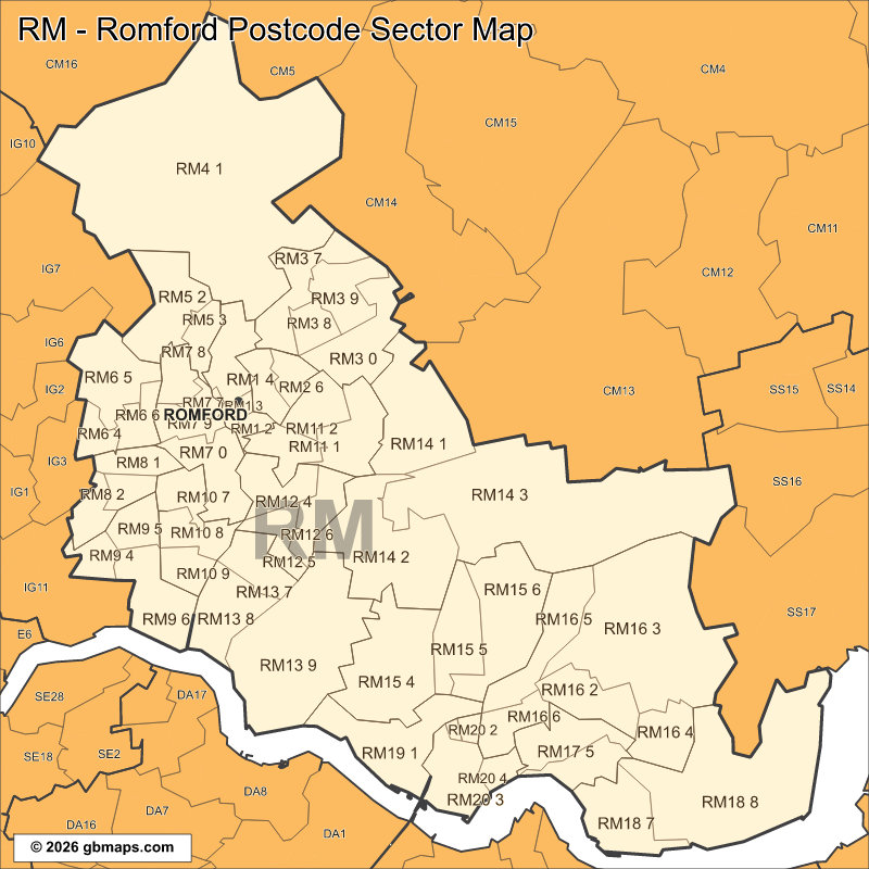
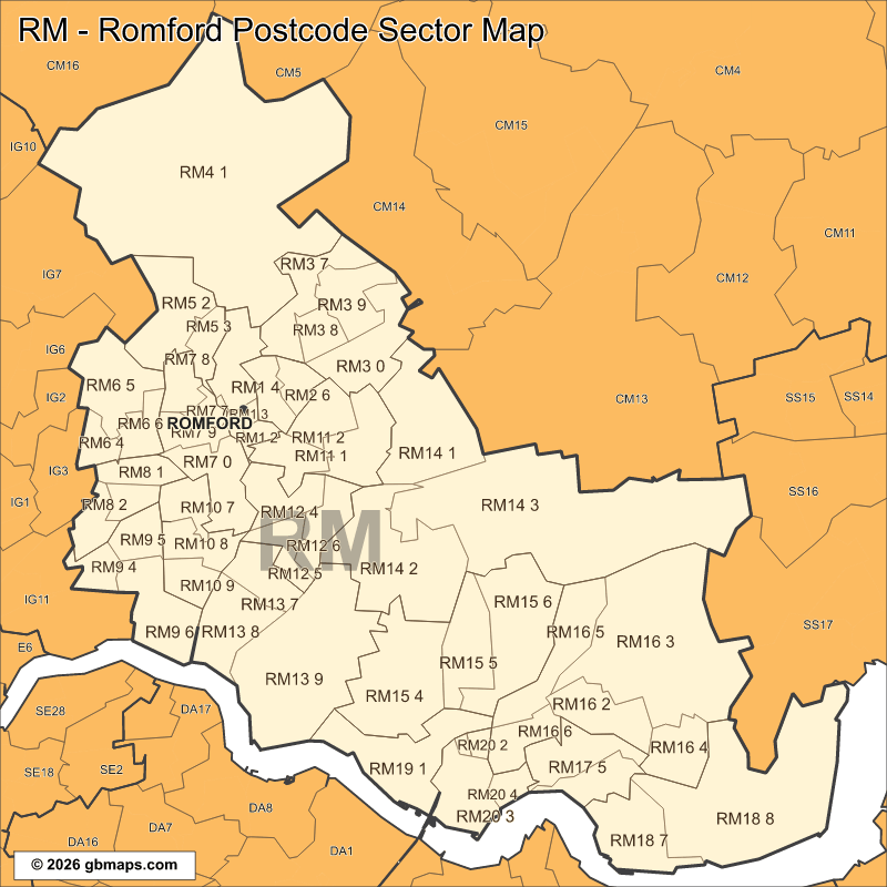
PDF and SVG remain sharp at any size. PNG, JPG and GIF are 800-pixel images. Check the map credits before reuse.

POSTCODE SECTOR COLOURING TOOL
Make your own Romford sector map
See RM postcode sectors divided into 4 example territories, then use the online colouring tool to build a map for your sales or delivery areas.
Open the sector map colouring toolRM POSTCODE SECTORS AND PLACES
RM postcode sector directory
These 28 sectors each introduce at least one named place or locality not already shown in this directory. The complete map contains 58 sectors. Names are matched to sectors and grouped by shared outward code.
| Sector | Local places |
|---|---|
| RM1 postcode sectors | |
| RM1 1 | Romford |
| RM2 postcode sectors | |
| RM2 5 | Gidea Park |
| RM3 postcode sectors | |
| RM3 0 | Harold Wood |
| RM3 7 | Harold Hill, Noak Hill |
| RM4 postcode sectors | |
| RM4 1 | Abridge, Lambourne End, Navestock Heath, Passingford Bridge, Stapleford Abbotts, Stapleford Tawney |
| RM5 postcode sectors | |
| RM5 3 | Collier Row |
| RM6 postcode sectors | |
| RM6 4 | Chadwell Heath |
| RM7 postcode sectors | |
| RM7 0 | Rush Green |
| RM8 postcode sectors | |
| RM8 1 | Dagenham |
| RM8 3 | Becontree |
| RM11 postcode sectors | |
| RM11 2 | Hornchurch |
| RM12 postcode sectors | |
| RM12 5 | Elm Park |
| Sector | Local places |
|---|---|
| RM13 postcode sectors | |
| RM13 7 | Rainham |
| RM13 8 | South Hornchurch |
| RM13 9 | Wennington |
| RM14 postcode sectors | |
| RM14 1 | Upminster, Cranham |
| RM14 3 | North Ockendon, Bulphan |
| RM15 postcode sectors | |
| RM15 4 | Aveley |
| RM15 5 | South Ockendon |
| RM16 postcode sectors | |
| RM16 2 | Grays |
| RM16 3 | Orsett, Baker Street |
| RM16 4 | Chadwell St Mary |
| RM16 5 | North Stifford |
| RM17 postcode sectors | |
| RM17 5 | Little Thurrock |
| RM18 postcode sectors | |
| RM18 7 | Tilbury |
| RM18 8 | East Tilbury, West Tilbury |
| RM19 postcode sectors | |
| RM19 1 | Purfleet |
| RM20 postcode sectors | |
| RM20 3 | Dartford Crossing, West Thurrock |
This is a place finder, not a list of every sector or address. A name appears once even when it spans several sectors. Use a current full postcode to check an address.
Looking for another postcode area?
Our maps are free for non-commercial use. Commercial use requires a licence for a small one-off charge. Please retain all supplied copyright notices. The GBMaps copyright notice must appear on the map itself in every format; vector maps (PDF and SVG) must also display the Ordnance Survey, Royal Mail and other supplied data acknowledgements. Email us about commercial use.