
Wales 4-Digit postcode sector map
The Wales of England is divided up into 7 different postcode areas. Each postcode area is divided up unto numerous smaller districts. You can download a vector based pdf map of each of the individual postcode areas of the Wales showing the areas and districts including labels by clicking on the links down the right hand side of this page.
>> Go Back to FULL UK Postcode Map

 CF Cardiff
 LD Landrindod
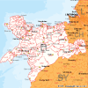 LL llandudno
 NP Newport
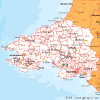 SA Swansea
 SY Shrewsbury