Complete Watford Map Bundle
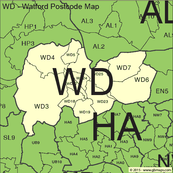
- Clean PDF and editable SVG
- PNG, JPG and GIF image files
- No promotional watermark or tool links
- Commercial-use licence included
PDFSVGPNGJPGGIF
£12including VAT
£10 + £2 VAT · One-off payment
Watford (WD) vector postcode district maps · WD3 to WD25 · Free PDF download & editable SVG bundle
Welcome back
Access your saved maps and downloads.
Need help accessing your account? Contact GBMaps.
WATFORD POSTCODE DISTRICT MAP DOWNLOADS
Explore the 11 WD postcode districts in the Watford postcode area, from WD3 to WD25. Compare district boundaries and find post towns and local places in the directory below. Download the vector PDF free, or choose the complete bundle with a clean PDF, editable SVG and PNG, JPG and GIF images.
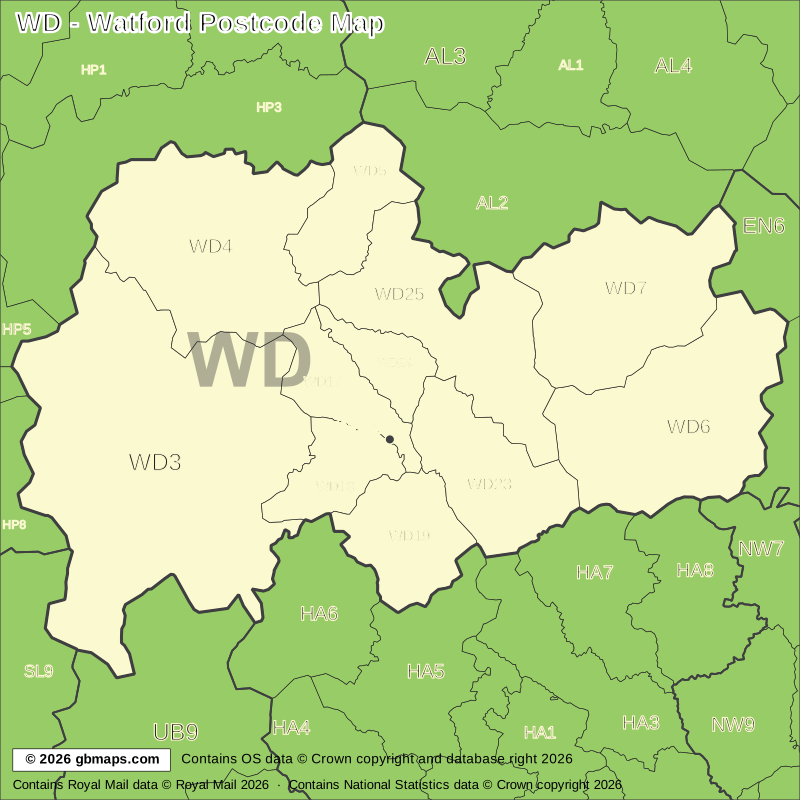
Explore the 11 WD postcode districts in the Watford postcode area, from WD3 to WD25. Download the free Watford postcode district map as a PDF, or choose the complete map bundle with a clean PDF, editable SVG and PNG, JPG and GIF images.
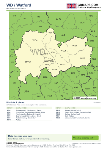
FreePDF download
For non-commercial use
£12including VAT
£10 + £2 VAT · One-off payment
The free PDF needs no email, account or payment. The bundle includes all five formats in one ZIP. Required map-data copyright credits are retained in both versions.

WATFORD MAP COLOURING TOOL
Use our online tool to colour postcode districts, add your own labels and make a Watford map for your project.
Make a map of Watford postcode districts hereWD – WATFORD POSTCODE DISTRICTS AND LOCAL PLACES
Find a district code and a few local places associated with it. Post towns group the entries so each postal name is easy to scan.
| District | Local places |
|---|---|
| Rickmansworth | |
| WD3 | Rickmansworth, Chorleywood, Sarratt |
| Kings Langley | |
| WD4 | Chipperfield, Rucklers Lane, Hunton Bridge |
| Abbots Langley | |
| WD5 | Abbots Langley, Bedmond, Sergehill |
| Borehamwood | |
| WD6 | Borehamwood, Elstree, Green Street |
| District | Local places |
|---|---|
| Radlett | |
| WD7 | Radlett, Shenley, Shenleybury |
| Watford | |
| WD17 | Watford |
| WD18 | Holywell, West Watford |
| WD19 | Oxhey, South Oxhey, Carpenders Park |
| WD24 | North Watford |
| WD25 | Aldenham, Letchmore Heath, Garston |
| Bushey | |
| WD23 | Bushey, Bushey Heath |
District codes are not always consecutive. Place names are examples, not a complete address lookup. Use the full postcode for an exact address.
The free PDF is for non-commercial use and includes GBMaps branding and a map colouring tool link. The paid bundle includes a commercial-use licence, without promotional watermarks or tool links. Required map-data and GBMaps copyright credits remain. Email us about commercial use Map licence terms · Digital delivery and returns.
Map data credits: Contains OS data © Crown copyright and database right 2026. Contains Royal Mail data © Royal Mail 2026. Contains National Statistics data © Crown copyright 2026.