
Northern Ireland 4-Digit Postcode District Map
The Northern Ireland of England is divided up into 21 different postcode areas. Each postcode area is divided up unto numerous smaller districts. You can download a vector based pdf map of each of the individual postcode areas of the Northern Ireland showing the areas and districts including labels by clicking on the links down the right hand side of this page.
>> Go Back to FULL UK Postcode Map

 CA Carlisle
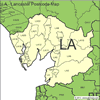 LA Lancaster
 BD Bradford
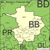 BB Blackburn
 PR Preston
 FY Blackpool
 L Liverpool
 WN Wigan
 BL Bolton
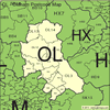 OL Oldham
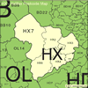 HX Halifax
 HD Hudersfield
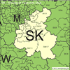 SK Stockport
 M Manchester
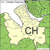 CH Chester
 CW Crewe