Bespoke PDF Postal Code District Maps of Scotland
For those requiring more detailed maps, we offer vector-layered, fully editable digital files, perfect for designers and professionals who need precision and flexibility. These maps include multiple layers, allowing for easy customization and modification of features such as boundaries, labels, and more. In addition to our standard maps, we also provide bespoke digital mapping services, tailored to your specific needs. Whether you require additional details, custom labeling, or unique geographic data, we can create a personalized map of any area in Scotland to meet your exact specifications.

 KW Wick
 IV Inverness
 AB Aberdeen
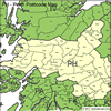 PH Perth
 DD Dundee
 PA Paisley
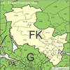 FK Falkirk
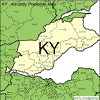 KY Kirkaldy
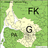 G Glasgow
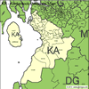 KA Kilmarnock
 ML Motherwell
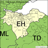 EH Edinburgh
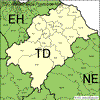 TD Galashiels
 DG Dumfries
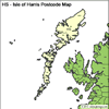 HS Harris
 ZE Shetland