Editable UK and Ireland Roadmap
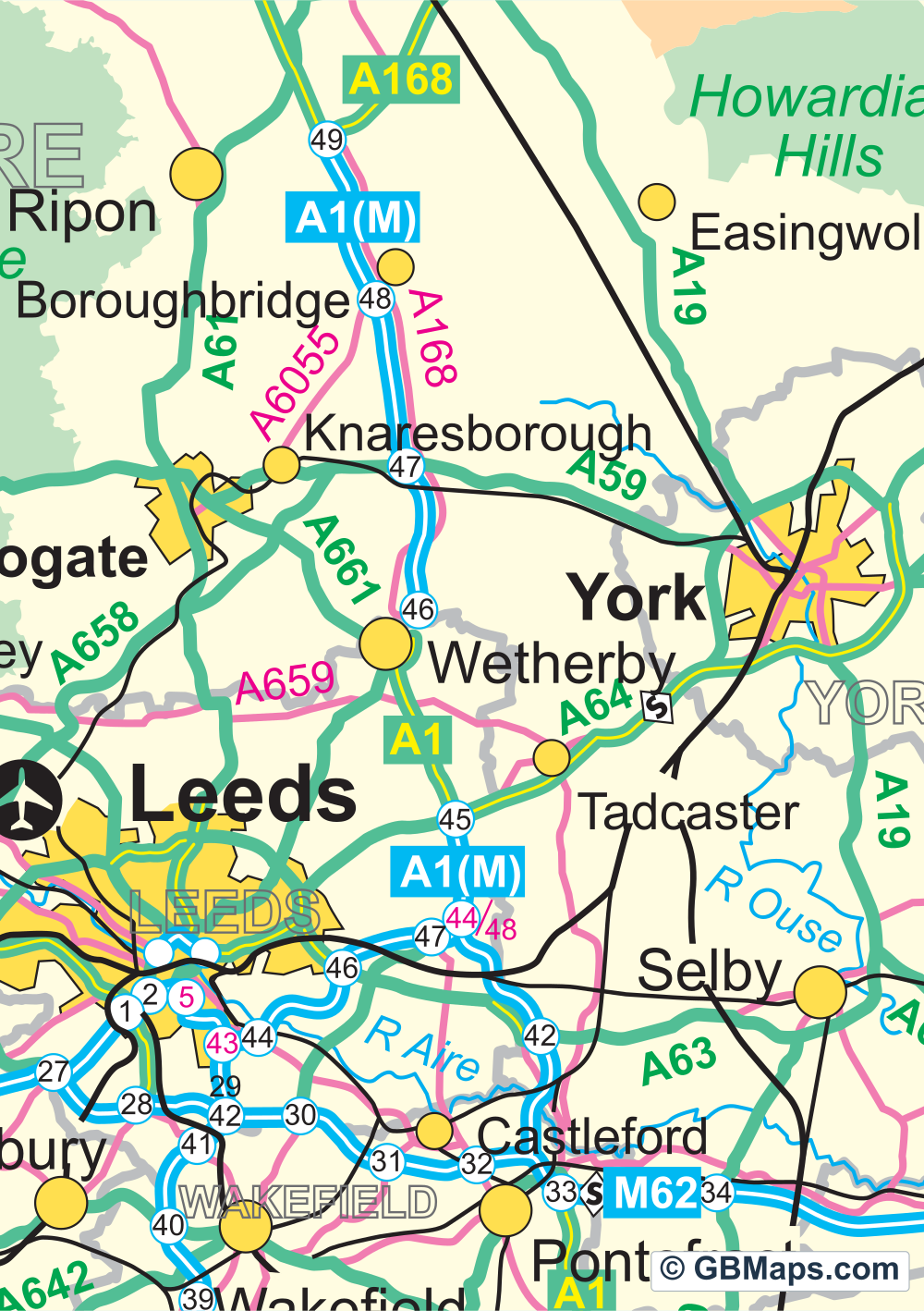
Great Britain, Northern Ireland and the Republic of Ireland fit on one sheet. You can follow the A64 past York, then look across to Dublin and pick out the M50 without opening another file.
Files in this download


Illustrator, PDF, SVG, EPS, PNG, JPG, Photoshop, PowerPoint, WMF.
Road, rail and landscape detail
- The road network
- Motorways, primary A roads and other A roads have separate layers. Road numbers, junction numbers and motorway services are separate again. Keep the junction numbers on a distribution map, or remove them for a simpler wall map.
- Other transport
- Main railways, other railways, ferry routes and airport symbols can each be switched off. If you want a road-only map of Britain and Ireland, you can leave the road artwork as it is.
- Boundaries and landscape
- National and county boundary lines are separate from the names. National parks, forests, main rivers and lakes each have their own artwork. The download includes a PowerPoint file as well as the layered Illustrator map.

Colour postcode districts with roads
Use our map colouring system to create a postcode district territory map of the UK. Switch on and off various layers containing roads, motorways, town names, city names, road numbers etc. Use the road network to help create your map and then hide them before saving your map as a vector based pdf map.
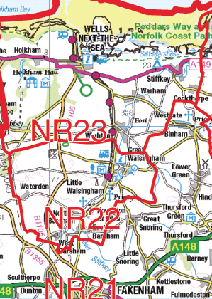 Contains OS data © Crown copyright 2026
1:250k Vector Road Maps
Choose a 60 × 60 km road map of your part of Great Britain. The York sample shows the roads, junctions and towns at 1:250,000. Download a free PDF sample or choose the full sheet as a PDF, SVG or layered Illustrator file.
Browse 1:250k Vector Maps ↗