Vector Editable Ireland Motorway & Road Map
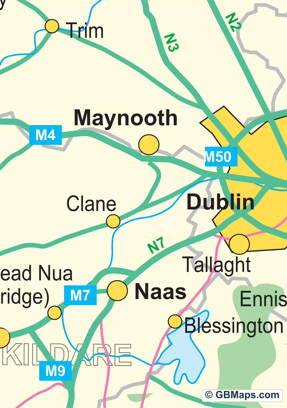
This is the Ireland-only sheet. Belfast, Dublin, Galway and Cork are on the same map, with motorway junctions, road numbers and smaller towns marked along the way.
Files in this download


Illustrator, PDF, SVG.
What’s on the Ireland road map?
- Roads and junctions
- Find the M50 beside Dublin or the M1 north of the city. Motorway numbers have their own layer, so you can take those labels off while keeping the road lines. The junction symbols and junction numbers also have separate entries.
- Towns and counties
- The map labels counties including Cork and Kerry. The smaller place names are useful when you need them. Howth and Emyvale are on “Town Names - Other”. You can hide that layer while keeping larger places such as Kilkenny and Coleraine.
- Coast and water
- The coastline, inland water shapes, land tint and sea fill are separate. You can change the sea colour for print or keep the inland water shapes and hide the name of Lower Lough Erne.

Colour postcode districts with roads
Use our map colouring system to create a postcode district territory map of the UK. Switch on and off various layers containing roads, motorways, town names, city names, road numbers etc. Use the road network to help create your map and then hide them before saving your map as a vector based pdf map.
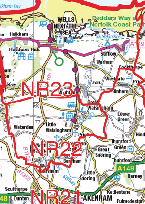 Contains OS data © Crown copyright 2026
1:250k Vector Road Maps
Choose a 60 × 60 km road map of your part of Great Britain. The York sample shows the roads, junctions and towns at 1:250,000. Download a free PDF sample or choose the full sheet as a PDF, SVG or layered Illustrator file.
Browse 1:250k Vector Maps ↗