Postcode Areas, Motorways and Major Roads Map
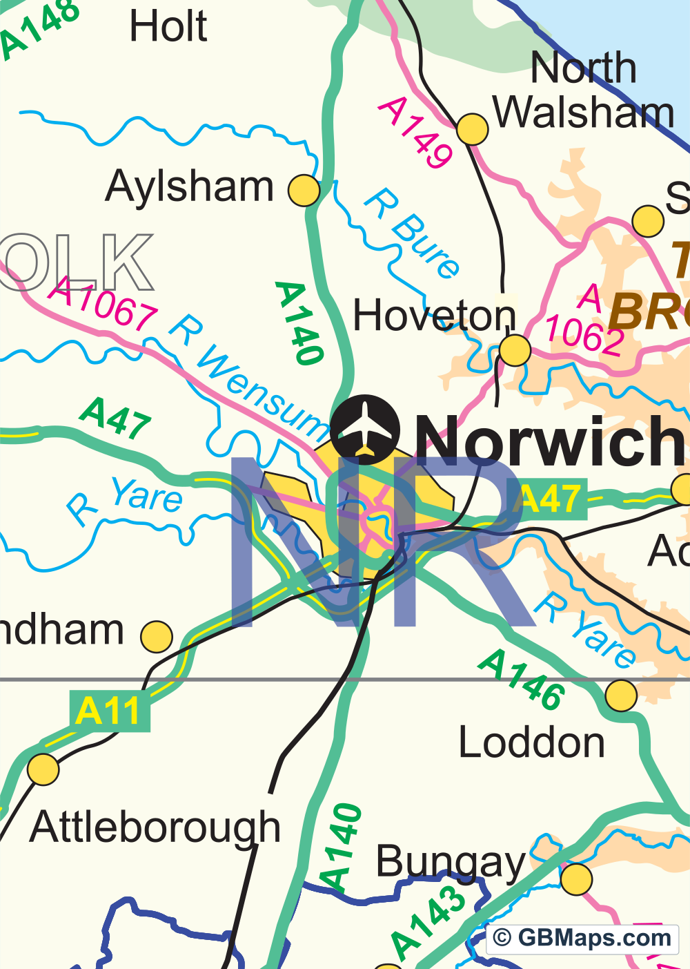
Use this map for territories based on whole postcode areas. Coventry is marked CV and Birmingham is B. You can colour those areas independently and still see the main roads that connect them.
Files in this download


Illustrator, PDF, SVG, EPS, JPG, Photoshop.
Working with postcode areas
- Finding an area
- In Illustrator, open “2-character postcode areas”. Look for “CV Coventry” or “B Birmingham” and select the area you want to colour. The London entry opens again to show parts of London, including SW and NW.
- Keeping the labels clear
- “Postcode letters” holds the area codes separately from the boundary artwork. Leave the codes on when you change an area’s fill. Town names and junction numbers can be hidden separately if the finished map is going in a small space.
- Choosing the right detail
- The M6 and M40 give you road references around Coventry and Warwick. If CV1 and CV6 need different colours, use the postcode district map. On this edition they belong to the same CV area.

Colour postcode districts with roads
Use our map colouring system to create a postcode district territory map of the UK. Switch on and off various layers containing roads, motorways, town names, city names, road numbers etc. Use the road network to help create your map and then hide them before saving your map as a vector based pdf map.
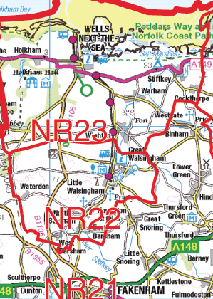 Contains OS data © Crown copyright 2026
1:250k Vector Road Maps
Choose a 60 × 60 km road map of your part of Great Britain. The York sample shows the roads, junctions and towns at 1:250,000. Download a free PDF sample or choose the full sheet as a PDF, SVG or layered Illustrator file.
Browse 1:250k Vector Maps ↗