Create a map in your own words
Describe the places, colours and territories you want to show.
Start with a prompt, add your files and shape your map with the GBMaps AI Map Assistant.
Add your spreadsheet, postcode list or reference image. You can also drop files here.
Page preview: prompts and files stay in your browser.
Try a starting point
- Sales territories
- Delivery zones
- Service areas
- Customer coverage
From your first idea to a map you can use
You know what your map needs to show. Start with that, then build on it in the GBMaps editor.
Tell us what to show
Name the places, describe your groups and add any colours or labels you have in mind.
Add the details you already have
Attach a spreadsheet, a postcode list or an image to give your map more context.
Make the map your own
Continue in the map editor to adjust your territories, add a title and finish the page layout.
Example maps
A clear brief makes a better map
Write as if you were asking a colleague to make the map. A few useful details give the assistant a place to start.
- Where
- Name the region or list the postcodes you want to show.
- What
- Explain the teams, zones or groups that belong on your map.
- How it looks
- Include colours, a title and any labels you need.
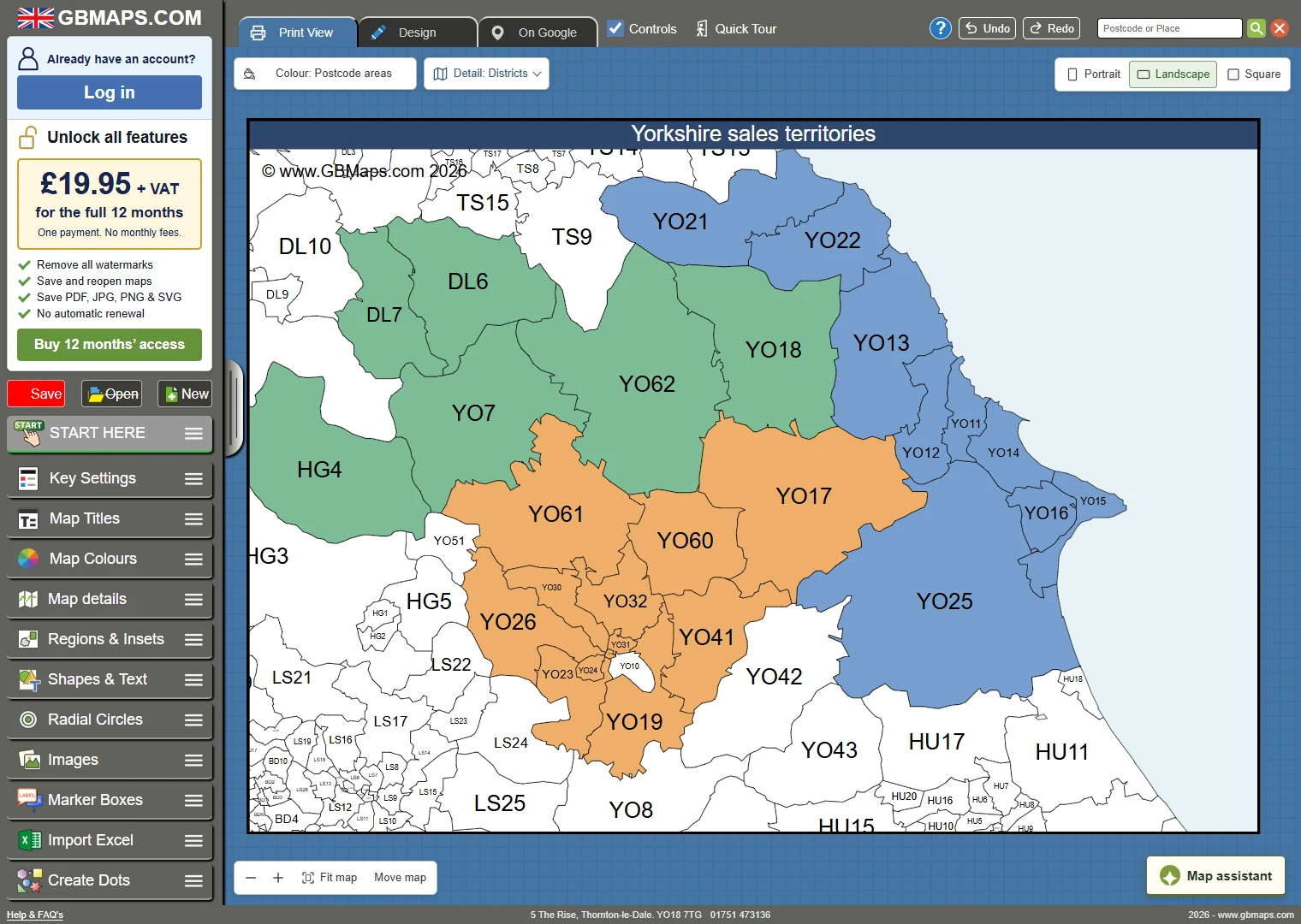
Create a delivery zone map for our Yorkshire team. Put YO18 and YO17 in a green zone called Local delivery. Put YO13 and YO25 in a blue zone called Coastal delivery.
Add the title “Our delivery areas” and a key with both zones.
Keep control of every detail
Use the GBMaps editor to turn your first map into something that fits your business.
- Change territory colours and names
- Add your title, notes and company logo
- Adjust the map view and page layout
- Save and download with a map licence
GBMaps customer reviews
Before you write your first prompt
Need advice on your map?
Call 01751 473136 or contact our map team.
What should I put in my prompt?
Tell us the area you want to map, what the colours should represent and any title or labels you need. For example: “Create a postcode map of Yorkshire with green and blue delivery zones.” Add a postcode list for more precise groups.
Do I need a spreadsheet?
You can start with a written description. If you already have postcode lists or territory data, attach the file to include that detail in your brief.
Can I change the colours and labels?
The GBMaps editor lets you change colours, edit territory names, add text and images, and adjust the page layout. You can continue to refine your map there.
What if I just want to map an Excel file?
Use our Excel to postcode map converter to start with your postcode and territory columns.
What will your next map show?
Start with the places and details that matter to your business.