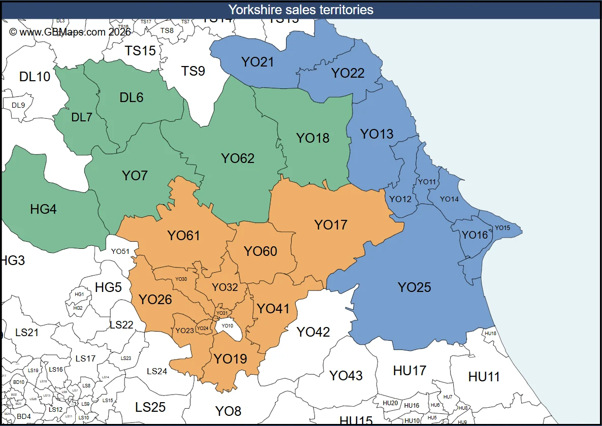
How to create a UK franchise territory map
Turn a list of postcodes into a map that shows which franchisee covers each district. Follow a Yorkshire example and make a version for your network.
Read the franchise map guideUK Postcode Maps and Vector Editable Outline Postal code Maps of the World, Business Map Designers Specialising in Vector Maps.
Postcode Map Designers
Call Us Now for Help01751 473136Welcome back
Access your saved maps and downloads.
Need help accessing your account? Contact GBMaps.
Use UK postcodes to show who covers each territory, where you deliver and how you divide work between teams.
Turn a list of postcodes into a map that shows which franchisee covers each district. Follow a Yorkshire example and make a version for your network.
Read the franchise map guide
Compare a radius with travel by road and see how your choice affects delivery charges.

Assign postcode districts to sales teams and build a key so each rep can find their patch.
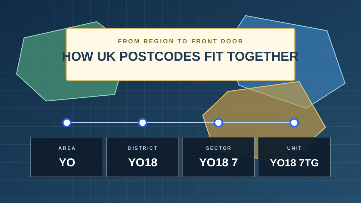
Compare YO, YO18 and YO18 7 to choose the right level of detail for your map.
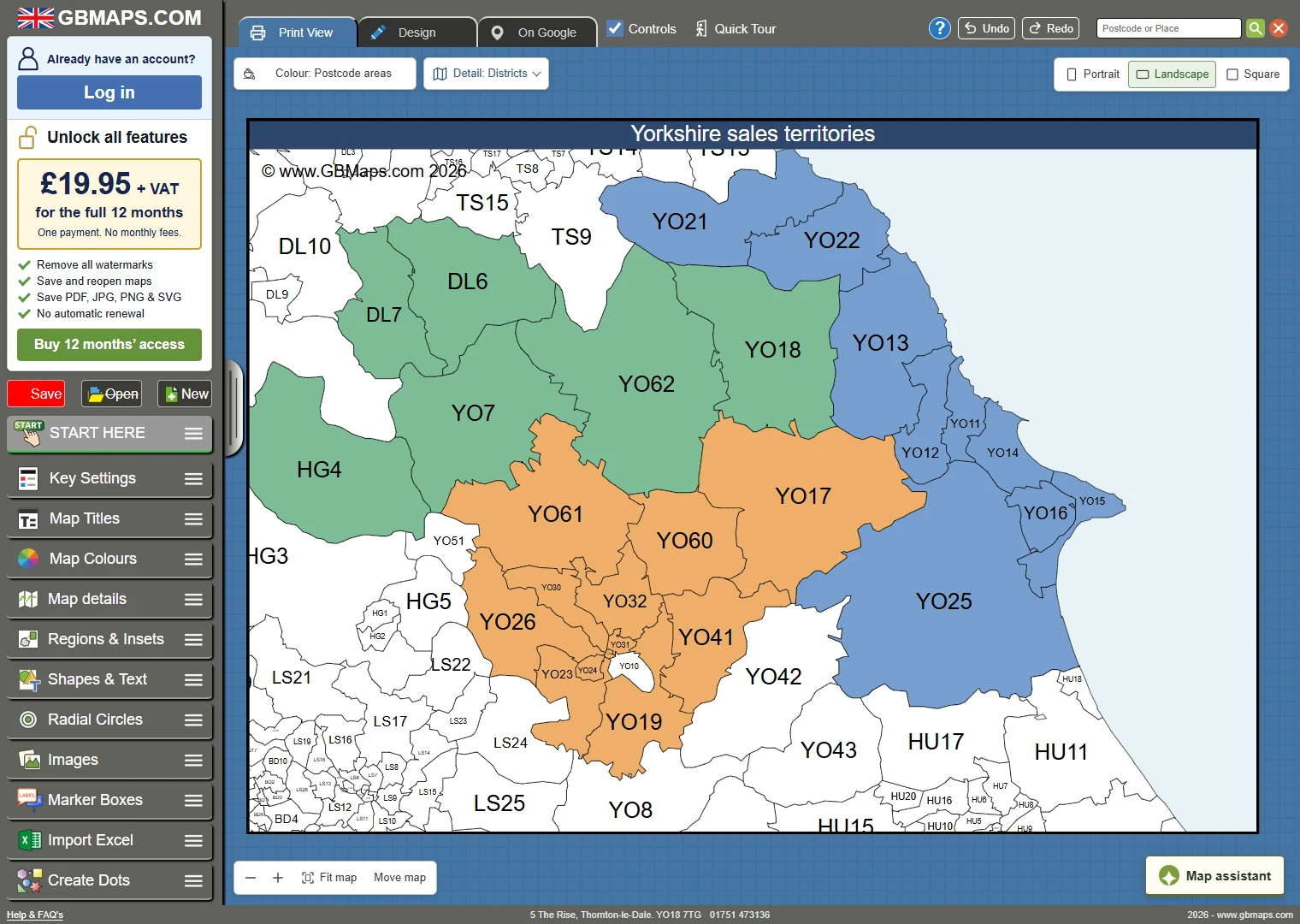
Compare tools for mapping UK postcodes and sales territories. See which offer editable exports, team access and one-off pricing.