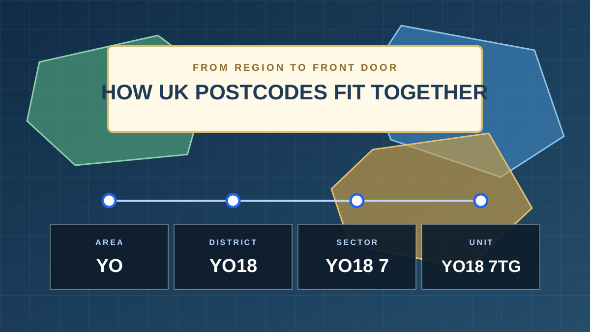
A UK postcode becomes more precise as letters and numbers are added. The postcode area covers the largest region. The district and sector narrow that region, and the full postcode identifies a small group of delivery addresses.
UK postcode structure: key points
- The postcode area is shown by the first one or two letters.
- The postcode district is the first part of the postcode, before the space.
- The postcode sector adds the first number after the space.
- The full postcode is called the postcode unit and is the most detailed level.
How is a UK postcode structured?
Use YO18 7TG as an example. Each level gives a more precise location than the level before it.
| Level | Example | What it identifies |
|---|---|---|
| Postcode area | YO | A broad postal region centred on York. |
| Postcode district | YO18 | A smaller part of the YO postcode area. |
| Postcode sector | YO18 7 | A smaller group inside the YO18 district. |
| Postcode unit | YO18 7TG | A small group of delivery addresses. |
What is a postcode area?
A postcode area is the largest geographic part of a UK postcode. It uses one or two letters, such as B for Birmingham, LS for Leeds, or YO for York.
The UK has 121 geographic postcode areas. These postal regions do not have to match county, council, or parliamentary boundaries.
What is a postcode district?
A postcode district combines the area letters with one or more numbers. Some districts also contain a letter. The complete district forms the outward code, which appears before the space in a full postcode.
For example, YO18 is one district in the wider YO postcode area. District maps are useful when you need local sales territories, delivery areas, service regions, or customer coverage maps.
What is a postcode sector?
A postcode sector combines the outward code with the first number of the inward code. In YO18 7TG, the sector is YO18 7.
Sector maps give more detail than district maps. They are useful for smaller delivery zones, local marketing areas, route planning, and fine-grained data analysis.
Which postcode map level do you need?
Choose the least detailed map that still answers your question. A simpler map is usually easier to colour, label, and read.
A simple way to choose
- Start with a postcode area map for a national overview.
- Move to postcode districts when you need regional territories.
- Use postcode sectors only when you need more local detail.
National overview
Use areas for broad UK regions and high-level coverage.
Create an area mapRegional planning
Use districts for territories, deliveries, and service coverage.
Create a district mapLocal detail
Use sectors when a district does not give enough precision.
Create a sector mapFrequently asked questions
Is a postcode area the same as a county?
No. Postcode areas are used for sorting and delivering mail. Their boundaries can cross county and council boundaries.
Is the outward code the same as the postcode district?
Yes. The outward code is the part before the space, such as YO18. It identifies the postcode district.
What is the inward code?
The inward code is the part after the space, such as 7TG. Its first number identifies the sector, and the final two letters complete the postcode unit.
Should I use postcode districts or sectors for a sales map?
Start with districts when the territories cover broad regions. Use sectors when the territories need more local detail.
Build your own postcode map