Download Digital Vector Editable Individual European Maps of all the countries in Europe. Powerpoint and Illustrator maps included.
Download Digital Vector Editable Individual European Maps of all the countries in Europe. Powerpoint and Illustrator maps included.
In this file bundle you get editable illustrator eu postcode files of each individual country in europe. You will also receive a single Adobe Illustrator file which contains all the individual postal code maps of european countries together in one place. A very complex file with a lot of information. Vector layered files which are fully editable with the right software.

Some of the countries of europe have dubious postal code systems in place. We've spent a lot of time to make this map as accurate as possible however there maybe some small errors we don't know about.
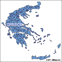
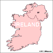
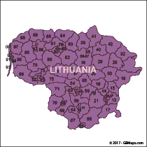
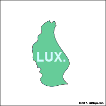
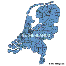
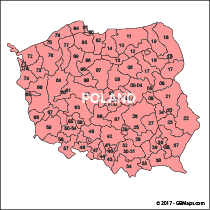
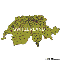
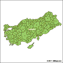
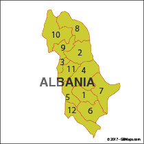
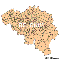
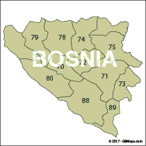
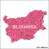
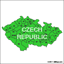
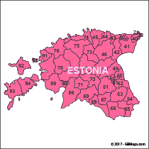
You can download maps of the individual countries of europe shownig postal codes areas or zones down to 2 digits. The maps can be edited using Adobe Illustrator or Powerpoint and have all been extracted from the larger EU map, it's much more economical to purchase the whole EU map rather than try to piece these together into a large map..

You can download free pdf postcode maps of european countries which contain a small watermark if you want to use them simply for reference. If you need more than 10 countries the full EU map works out better value.

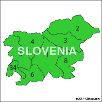
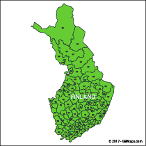
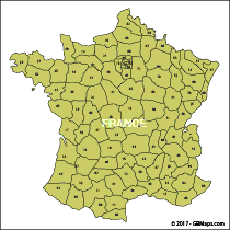
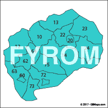
We’ve pulled apart our big postcode map of Europe into its individual countries and created a downloadable postcode map of each country. And now for the amazing bit. We’re giving digital versions of them away for FREE. They are simple postcode maps with no towns or cities on them but they are still useful. Each country in Europe has it’s own small bundle of files and they can be downloaded and used for free for your own project or corporate need. You may not re-sell or use the maps in a commercial way to make money from. If you want to do that, get in touch and we’ll help you out.
Alternatively, we’ve reduced the price of our complete map of Europe to just £55. You receive the actual Adobe Illlustrator Artwork along with various other file formats and you also receive all the individual country maps as file bundles. There’s approximately 250mb of vector editable file downloads in this package. If you were to download each of our country maps individually and try to piece them together it would take you well over a day to do so. We’ve intentionally made it difficult to piece them together and would appreciate it if you purchased the artwork direct. It took us long enough to create and takes us time to maintain so well worth the money.