skip to main content

How to create a customised uk postcode or county map and divide it up into sales territories or zones and save as a pdf map.
Call Us Now for Help

01751 473136

Perfect for Delivery Drivers and Local Businesses

Simplify your Delivery Zone Planning

  • Set delivery charges by postcode
  • Show customers exactly where you deliver
  • Give every driver or team a clear coverage area
  • Visualise your delivery zones at a glance
Try for Free! No signup, email or card needed to try.
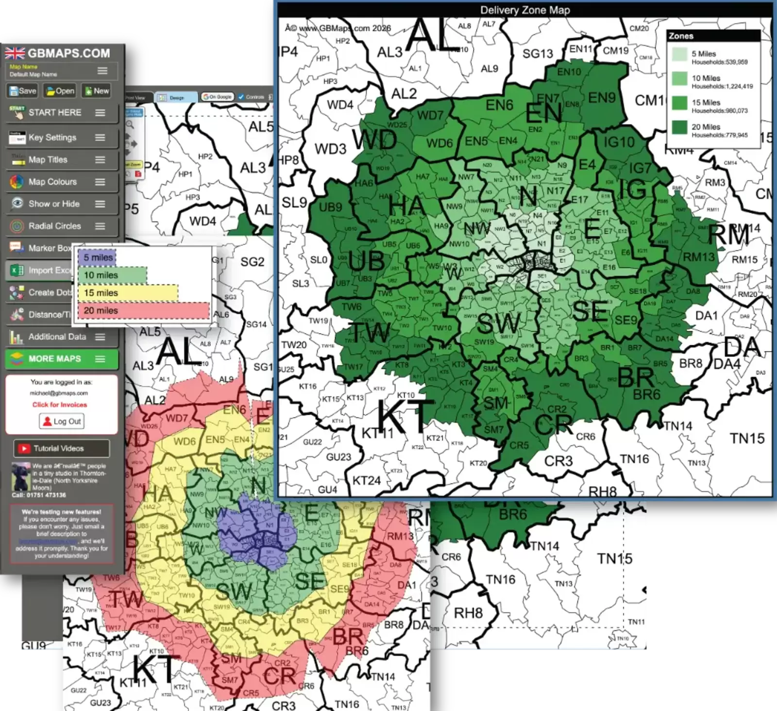
GB Maps postcode delivery zone colouring tool showing delivery radius bands and a finished map
One solution for customers and drivers

Stop checking delivery postcodes one at a time

Put your delivery rules and prices into one clear map. Use it at the till, on your website or with drivers so everyone gives the same answer about coverage and price.

Local delivery£3
Outer delivery£5
Extended areaQuote
Simple to set up

Build your delivery map in three steps

Find your delivery area

Search the UK postcode district map for the places your business serves.

Colour each zone

Group districts by delivery charge, coverage limit or driver territory.

Save and share it

Download a printable map or share your zones on an interactive online map.

Create Your Delivery Zone Map
Maps made for deliveries

Create the zones in the colouring tool, then download or share the finished map.
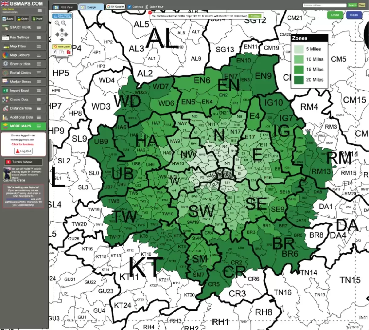
GB Maps delivery zone colouring tool showing four mileage-based coverage bands

Create delivery zones

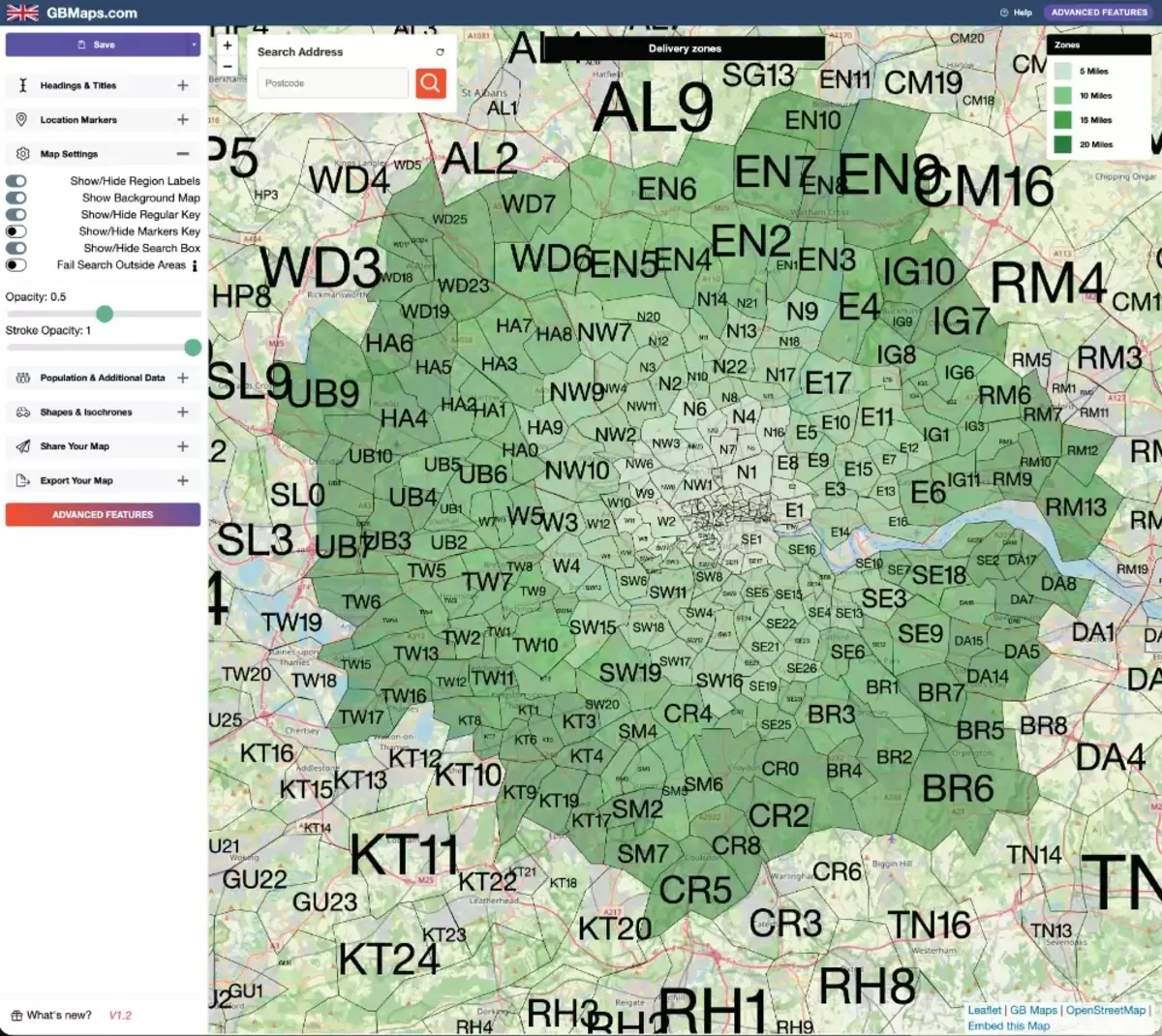
Interactive delivery zone map with searchable postcode districts and a zone key

Share interactive coverage

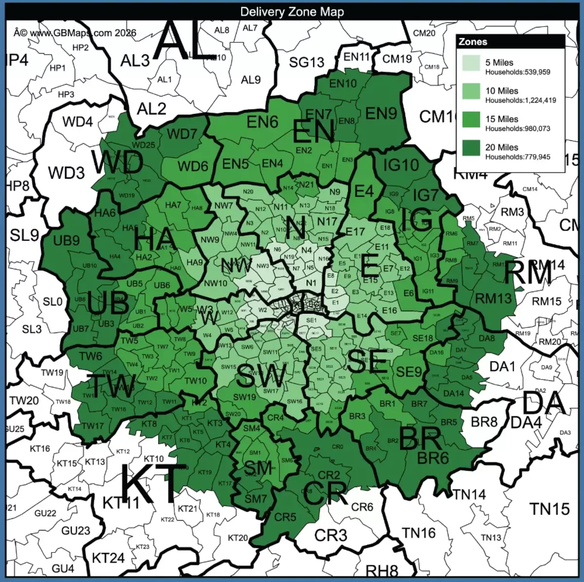
Finished postcode delivery zone map with four green distance bands

Download a finished map

See how delivery zones are added

Watch how postcode districts are grouped, named and coloured into clear zones.

Editable files and professional printing

Print your delivery zone map at any size

Every map file is vector-editable, so colours, labels and layouts can be changed before printing. Scale your map from a desk copy to a large wall display without losing clarity.

Ask About Map Printing
Editable vector artworkMake changes to colours, labels and layouts before the map is printed.
Laminated postersDurable wall maps for dispatch desks, depots, shops and delivery offices.
Aluminium signsRigid professional signage for loading areas, delivery teams and operational sites.

Before you start

Can I create different delivery-charge zones?

Yes. Give postcode districts different colours to create local, outer and custom-price delivery bands.

Can I try the tool before paying?

Yes. You can explore the map-colouring and design controls free without signing up. An unlock is required to save, download and share your finished map.

What can I do with the finished map?

An unlocked map can be saved as a PDF for printing, exported as PNG, SVG or CSV, or shared on a Google-style interactive map.

Ready to make delivery coverage clear?

Create the postcode map your customers and drivers need.

No signup, email or credit card needed to test the tool.